Aerial Mapping in Oxfordshire
Orthomosaic and 3D Models
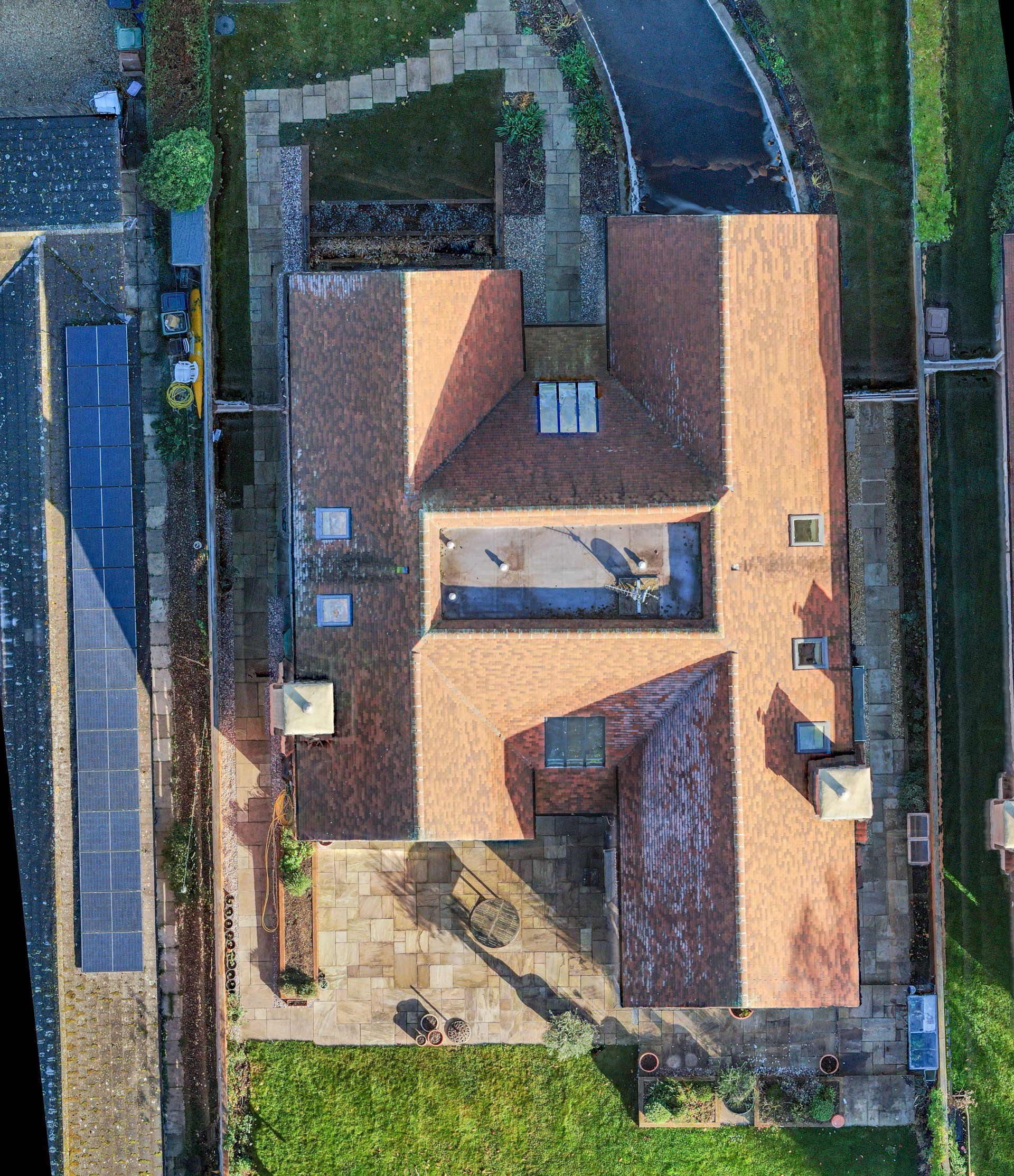
We are able to produce geometrically correct aerial images of areas and structures, which can be an invaluable resource for any project.
Our orthomosaic maps provide similar images to Google Maps, however those on Google can sometimes be several years old. Using our drones we can supply data which is far more up to date - providing you with time critical information for your project at a touch of a button. With the ability to zoom in, measure and track progress over time by combining multiple layers from different visits, they are a powerful tool across multiple industries such as construction, real estate and management.
For aerial mapping in Oxfordshire and the wider area you need look no further than Vortex Drone Company. Contact us today for a FREE no obligation quotation.